Field investigations
We have specialized in various groundwater investigations for over 30 years. We have developed our own measurement equipment and machinery to make the investigations reliable and cost-effective. We are the only company in Finland that gives a yield guarantee for the screen tube wells we build on the sites investigated with our methods.
Soil drilling and soil sample gathering
Our field investigations are done by our experienced and responsible staff that carries out all kind of field investigations. In the investigations, we use heavy hydraulic drills that we have developed for Finnish soil types. The machinery enables soil drilling also in demanding soil conditions. You can read more about our machinery here.
We also take soil samples if needed. we can take soil samples with different diameters ranging from 20 to 400 mm.

This powerful investigation drill machinery for Finnish soil types is developed by us.
Observation Well Construction
We install groundwater observation wells as a part of our investigations. The observations wells are the only straight and reliable method for measuring the groundwater levels. The observation wells can also be used in well location surveys, hydraulic conductivity measurements and groundwater flow velocity measurements. Nowadays almost all observation wells we install are made of plastic, as they are reliable for taking measurements significantly longer than the ones made from steel. Additionally, they can be used with automatic groundwater level measurement devices. You can read more about installing observation wells here.

Our observation wells give reliable measurement results for a long time and they are suitable for automatic measurements as well as for collecting water samples.
Creating a groundwater flow direction map based on groundwater level measurements
The observation wells can be used for measuring the groundwater level relative to sea level. With the measured groundwater levels, we can interpolate a groundwater flow direction map over the area to assess the groundwater flow conditions.
The flow direction map is very useful for various investigations. It can be used for determining promising locations for water withdrawal or for investigations. It can also be used in estimating the catchment basin of the well or waterworks, i.e. the area from which the water flows to the well, as well as for estimating the flow directions of artificial groundwater or groundwater contamination. We can also estimate the areas with the best hydraulic conductivities.

Measuring the groundwater level by hand.
Collecting water samples
We collect water samples with a pump or, if needed, with a bailer. With a submersible pump, the water samples can be collected regardless of the depth of the groundwater. We always check the suitability of the observation well for collecting water samples before collecting the sample to ensure that the water sample is representative of the real conditions in the groundwater. We take the samples to an accredited laboratory for analysis, and we utilize the results of the analysis as a part of our investigations. Water samples are a crucial part of various groundwater investigations and groundwater contamination surveys; for example, in well location surveys it is important to know the quality of the groundwater at the well location.

Collecting water samples.
Point-by-point groundwater flow velocity measurements with unique measurement equipment
We have developed a unique measurement system for measuring groundwater flow velocity. The measurements are done in an observation well and they measure both the speed and the direction of the groundwater flow layer by layer very precisely. The resolution of the measurement system is approximately 10 cm/d and the measurements can be done in chosen levels.
The flow routes of the groundwater, i.e. the direction of the flow, and the speed of the groundwater flow play a crucial role in for example the purification of the artificial groundwater and contamination surveys of groundwater. When the flow directions and velocities of groundwater can be measured in the field and the travel times can be determined based on them, crucial measurement data is gathered for artificial groundwater investigations and contamination surveys. Measuring data is also a requirement for creating groundwater flow models that are widely used in bigger projects.

The flow velocity measurements give the point-by-point speed and the direction of the groundwater flow.
Determining the hydraulic conductivity of different soil layers
We have developed a patented method for measuring the layer-by-layer hydraulic conductivities of the soil reliability regardless of the groundwater level. The method was developed in the 1980s and it can be used for measuring the hydraulic conductivity from the observation well in the soil layers below the groundwater surface. The method enables differentiating even small differences in hydraulic conductivities. The method is most typically used in well location surveys, artificial groundwater investigations and contamination surveys, but it can be used in all observation wells with the diameter of 50–60 mm.
Our method for measuring the hydraulic conductivity differentiates from the other measurement methods used in Finland, as it can be used with layers of chosen thickness very precisely even in observation wells that have been installed earlier. The method replaces the slug test measurements that have been used earlier and that typically only allow measuring the yield of the observation well screen. Our method enables more detailed measurements, and it can be reliably used in wider range of soil conditions. Over the decades, we have used our method in over a thousand observation wells.
Oxygen content and temperature profile measurements in groundwater
We measure groundwater oxygen content and temperatures from the observation wells. The measurements can be done from the pumped water or in layers (i.e., profile measurements). The measuring levels can vary based on the situation and the data needed, and the measurements can be used in various different groundwater and artificial groundwater investigations.
The oxygen content and temperature profile measurement works well with the layer-by-layer measurement of hydraulic conductivity. This measurement combination helps to determine the best soil layers for water withdrawal.
The oxygen content and temperature profile measurements can also be repeated later to find out for example the impacts of water withdrawal or managed aquifer recharge, as the oxygen content is the most important indicator of water quality. Our oxygen content and temperature profile measurements are a more affordable alternative for water samples from different levels.
Well location surveys and the yield guarantee for the dimensioned well
Our decades-long experience in well construction has shown us that reliable well location surveys are a requirement for constructing a successful well. Thus, we make well location surveys with our unique methods with heavy drilling machinery and special measuring systems. Based on the well location survey we can make the dimensioning of the well and provide a yield guarantee for the dimensioned well.
The yield guarantee means that we can implement a screen tube well, with a yield that we guarantee, to the well location we have investigated with the well location survey. If the yield guarantee is not fulfilled, the well is not charged from the customer. The yield guarantee means that we can implement a screen tube well to the location we have investigated with the yield we have guaranteed. The yield of the well means the momentary yield from the well, that depends on the soil types around the well. The long-term yield is dependent on the water yield of the aquifer, and it is typically assessed with test pumping.

Well location survey.
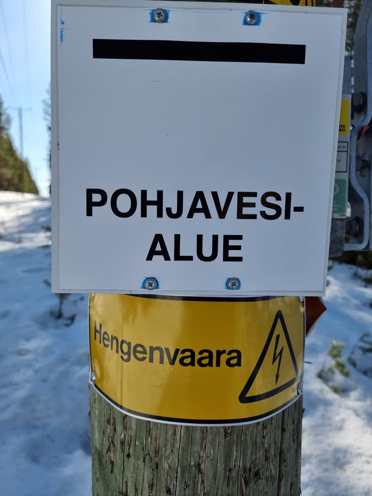
Groundwater contamination surveys
If groundwater is contaminated, the most crucial thing to determine is the extent and the severity of the contamination. We install groundwater observation wells also for this purpose: With groundwater level measurements from these wells, the groundwater flow directions of the area can be determined. For more detailed assessment of the route of the contamination, we can measure the groundwater flow directions in the observation wells layer by layer. Additionally, we collect water samples to determine the contaminant content in the water, layer by layer if needed. We can also use the measurement data in groundwater flow model to estimate the paths and the travel times of the contaminant in the groundwater formation.
With the investigations, we determine the best way to deal with the contamination. We can determine the best location for a well for protection pumping. Another option for fixing the problem is breaking the contaminant with VYR method.
Groundwater contamination can pose a health risk and long-term problems.
References
Measuring hydraulic conductivities for reclassification process of the groundwater areas in South Savo
2020
Determining the groundwater flow directions of Konginkangas horse racing center and its surroundings a part of groundwater investigations and risk assessment
2018
Well location survey of Kokemäki Kooma Waterworks
2016
Contact us!


© 2026 Suomen Pohjavesitekniikka Oy